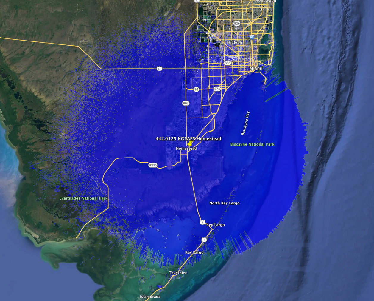
This is a new coordination granted to KG1AES in Homestead. It is a P25 Phase 1 and NBFM repeater.
442.0125 KG1AES Homestead Service Contour
====FASMA COORDINATION RECORD 3648====

Record ID      : 3648
Coord Date     : 2022-10-30
Update Date    : 2022-10-30
Orig Cord Date : 2022-10-30
Holder         : Austin Jewsbury
Trustee        : Austin Jewsbury, KG1AES
URL            : No URL On File
County         : Miami-Dade
City           : Homestead
Lat, Lon       : 25.47, -80.47
Callsign       : KG1AES
Output Freq    : 442.0125 MHz
Input Freq     : 447.0125 MHz
Bandwidth      : 12.500 KHz
Emission 1     : 8K10F1E
Emission 2     : 11K2F3E
ERP            : 346.7 Watts, +55.4 dBm
Antenna Height : 97.50 Meters
DCS CODE       : 565
P25 NAC TX     : 0xA55
P25 NAC RX     : 0xA55
Model          : https://plots.fasma.org/440/442.0125_KG1AES_Homestead_3648.kmz
Service        : 54 km
Interference   : 103 km
Features       : P25 Phase 1

The coverage model is a standard KML format and may be viewed in google earth.
This is automatically generated based on your location, antenna height, ERP and
frequency.
Manatee County Emergency Support Group, Inc. has updated the trustee and holder for this coordination. With the new model data their coverage area has increased from 26 to 41 km!
442.1250 KM4EC Bradenton Service Contour
====FASMA COORDINATION RECORD 280====

Record ID      : 280
Coord Date     : 2022-10-30
Update Date    : 2022-10-30
Orig Cord Date : 1995-08-17
Holder         : Manatee County Emergency Support Group, Inc.
Trustee        : Jack W Ham, WG9X
URL            : https://www.mcesg.org/
County         : Manatee
City           : Bradenton
Lat, Lon       : 27.49, -82.36
Callsign       : KM4EC
Output Freq    : 442.1250 MHz
Input Freq     : 447.1250 MHz
Bandwidth      : 25.000 KHz
Emission 1     : 16K0F3E
Emission 2     :
ERP            : 245.5 Watts, +53.9 dBm
Antenna Height : 45.72 Meters
Access Tone Out: 100.0 Hz
Access Tone In : 100.0 Hz
Model          : https://plots.fasma.org/440/442.1250_KM4EC_Bradenton_280.kmz
Service        : 41 km
Interference   : 94 km
Features       : o WBFM ersz 100.0/100.0

The coverage model is a standard KML format and may be viewed in google earth.
This is automatically generated based on your location, antenna height, ERP and
frequency.
====FASMA COORDINATION RECORD 151====

Record ID      : 151
Coord Date     : 2019-12-04
Update Date    : 2022-10-30
Orig Cord Date : 1984-12-04
Holder         : Manatee County Emergency Support Group, Inc.
Trustee        : Jack W Ham, WG9X
URL            : https://www.mcesg.org/
County         : Manatee
City           : Bradenton
Lat, Lon       : 27.48, -82.62
Callsign       : KM4EC
Output Freq    : 147.1950 MHz
Input Freq     : 147.7950 MHz
Bandwidth      : 15.000 KHz
Emission 1     : 16K0F3E
Emission 2     :
ERP            : 125.9 Watts, +51 dBm
Antenna Height : 26.52 Meters
Access Tone Out: 103.5 Hz
Access Tone In : 103.5 Hz
Model          : https://plots.fasma.org/144/147.1950_KM4EC_Bradenton_151.kmz
Service        : 33 km
Interference   : 86 km
Adjacent 1     : 27 km
Features       : o WBFM ers 103.5/103.5